BRANDON HANSEN / KCHW NEWS
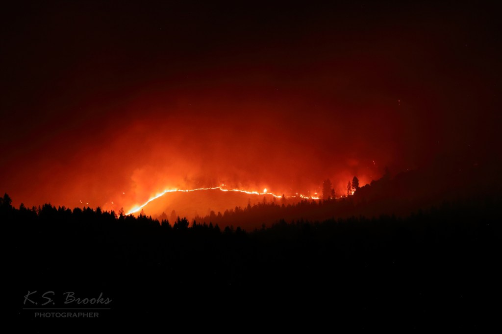
The Hope Fire in northeastern Washington continues to burn, with fire officials reporting 6,526 acres scorched and 0 percent containment as of Sunday morning. A combination of steep terrain, hot and dry conditions, and shifting winds have made suppression efforts extremely challenging.
Evacuation orders remain in effect across the region. Fire management officials have reiterated that Level 1 (Be Ready), Level 2 (Be Set), and Level 3 (Go Now) evacuations are still active and subject to change based on fire behavior.
Incident meteorologist Ryan Leach warned that today could bring some of the most dangerous fire weather since the blaze ignited on July 8.
“We are looking at probably the worst weather day we’ve had since the fire started,” Leach said. While not quite as severe as the fire’s first explosive growth, conditions are expected to deteriorate significantly through the afternoon and evening.
Leach highlighted a wind shift from west to northwest with gusts reaching up to 20 mph on ridge tops, especially around 5 p.m. “That’s the biggest change today—stronger winds than we’ve seen in days,” he said.
Operations Section Chief Ryan Sullivan of Northwest Team 8 provided a detailed status update Sunday morning, highlighting both progress and persistent challenges on various sections of the fire.
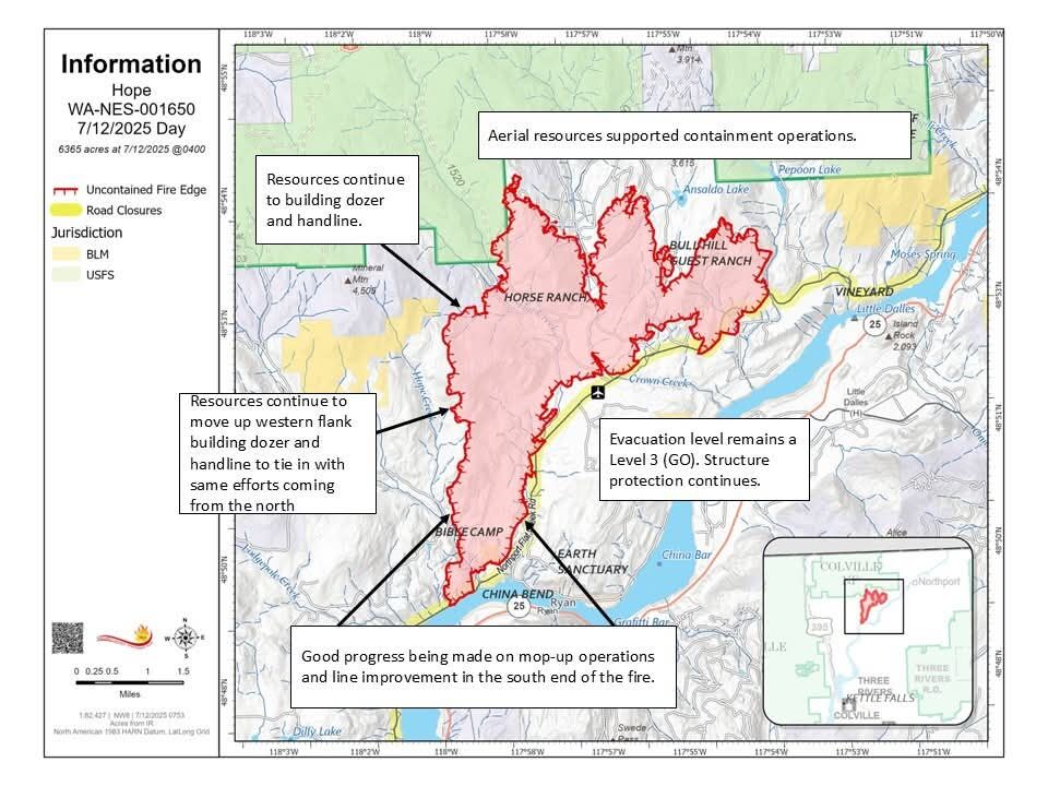
In the southern and southwestern corner, which Sullivan referred to as the “heel” of the fire, containment efforts are showing the most promise. Crews are optimistic that the area from the church camp south could see initial containment lines established by the end of the day.
“This section is holding really well,” Sullivan said. “We’ve got crews in there just trying to verify that today.”
Hotshot and Type 2 Initial Attack crews are actively working north from the southern fire edge and south, using a combination of aviation support, dozers, and handline construction.
In the north section near Lail Road, resources are gradually being moved in to construct line toward the road. Firefighting efforts beforehand hadn’t gotten “boots on the ground” in the northern most finger of the fire, so additional command personnel will be inserted there in the coming days to direct suppression activities.
On the eastern flank, structure protection efforts continue. A dedicated group is defending homes at the fire’s edge, with mop-up and line securing ongoing.
“That looks better and better every day,” Sullivan said.
Today and Monday are forecast to be critical burn periods, with temperatures expected to reach the high 90s or even triple digits in some areas near the fire’s heel. Relative humidity will remain low, further drying out fuels. Wind remains the primary concern, with Sunday evening gusts and Monday’s predicted 20 mph winds from the northwest posing a significant risk for spotting and flare-ups.
“We’re really focusing on that weather,” Sullivan said. “That’s why we’re putting so much attention over here on this eastern flank to try to protect all the critical values out here east of the fire.”


Leave a comment